Метка плагина: GPX
-
-

WP GPX Maps
Draws a GPX track with altitude graph. You can also display your nextgen gallery images in the map.
-
Extensions for Leaflet Map
Extends the WordPress Plugin Leaflet Map with Leaflet Plugins and other functions.
-

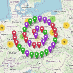
Waymark
Waymark adds powerful mapping features to WordPress that are easy to use. Create beautiful, interactive Maps customised to suit your needs.
-
-
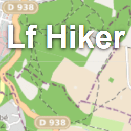
Lf Hiker
Lf Hiker is a plugin for quickly display your gpx tracks with their profile elevation on an interactive map.
-
-
Images with GPS on GoogleMaps
Images with GPS on Google Maps displays your photos on a Google Maps map using GPS or without GPS Geotags.
-

Listdom KML Addon — Display KML Layers
Easily add KML (and GPX) map layers to your Listdom directory maps, highlighting specific areas, routes, or boundaries.
-

WP Trip Summary
A WordPress trip summary plugin to help travel bloggers manage and display structured information about their train rides and biking or hiking trips.
-
-

BSPlaces
BSPlaces extends WordPress of simple gps position and gpx tracks management. Default visualization engine is api.mapy.cz.
-
-
-

Mapthread
Transform your travel stories into interactive map experiences. Upload GPX files, place markers, watch the map follow as readers scroll.
-

GTL Maps
GTL Maps lets you showcase cycling routes with GPX tracks, interactive maps, elevation profiles, and nearby points of interest.